

Geolocation Services
Achieve precision and efficiency with real-time geolocation tracking and seamless field data integration
Achieve precision and efficiency with real-time geolocation tracking and seamless field data integration
Leverage GNSS (Global Navigation Satellite System) devices to provide centimeter-level positioning accuracy
Integrate field data into GNSS systems for real-time location insights
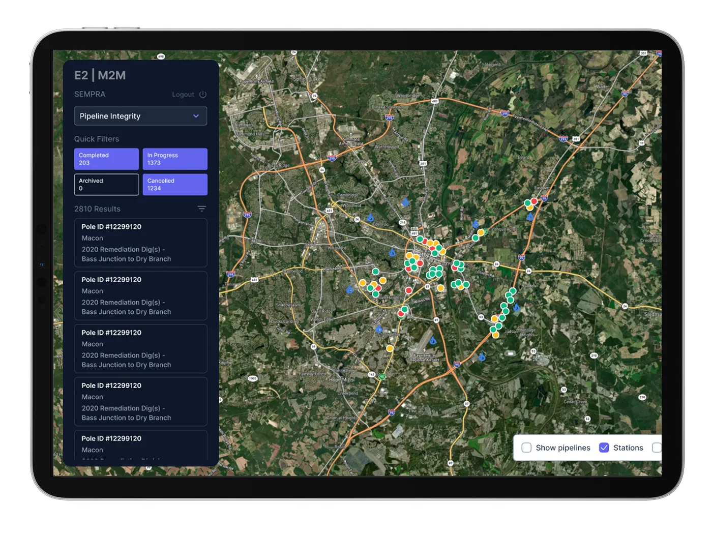
Track the real-time location and progress of field workers, optimizing resource allocation and task management
Seamlessly integrate with enterprise GIS systems like ArcGIS, QGIS, Autodesk and more
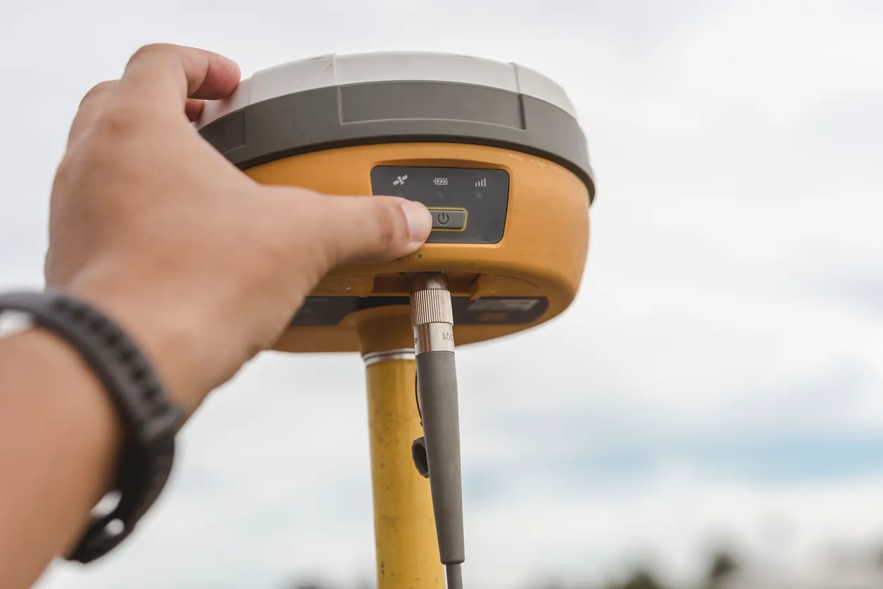
Leverage GNSS (Global Navigation Satellite System) devices to provide centimeter-level positioning accuracy
Integrate field data into GNSS systems for real-time location insights
Our geolocation service uses advanced GNSS technology to deliver centimeter-level accuracy for mapping, data analysis, and real-time monitoring. By integrating field data with GNSS systems, we provide enriched location insights that improve decision-making. This solution is ideal for industries like construction, surveying, and field services, where accurate tracking and real-time updates are essential.
Our service offers real-time tracking of field workers, allowing you to monitor their location and progress. This ensures efficient resource allocation, better task management, and increased productivity. With seamless data integration and immediate project visibility, our geolocation service helps teams make smarter decisions, minimizing delays and optimizing efficiency.
See our innovation in action - schedule a demo today.